 by Alicia MacLeay
Hikers and backpackers know there are a lot of different land management agencies out there: National Park Service, Bureau of Land Management, USDA Forest Service, US Fish & Wildlife Service, Army Corps of Engineers, state parks, local municipalities, and so on. Then there are various land designations: Wilderness, national park, national preserve, wild and scenic river, national monument, to name a few.
It can seem confusing, and you might be tempted to say, "who cares? I just want to hike."
As users of these lands, we all need to care, because the rules of the land determine what activities you, and your fellow outdoorspeople, can and can't do. For example, you can hunt on Forest Service and National Preserve lands, but not in National Parks. You can mountain bike on lots of BLM land, but not in federally designated Wilderness.
For outdoor recreationists, knowing the rules of the land is an essential part of being prepared.
via Leave No Trace
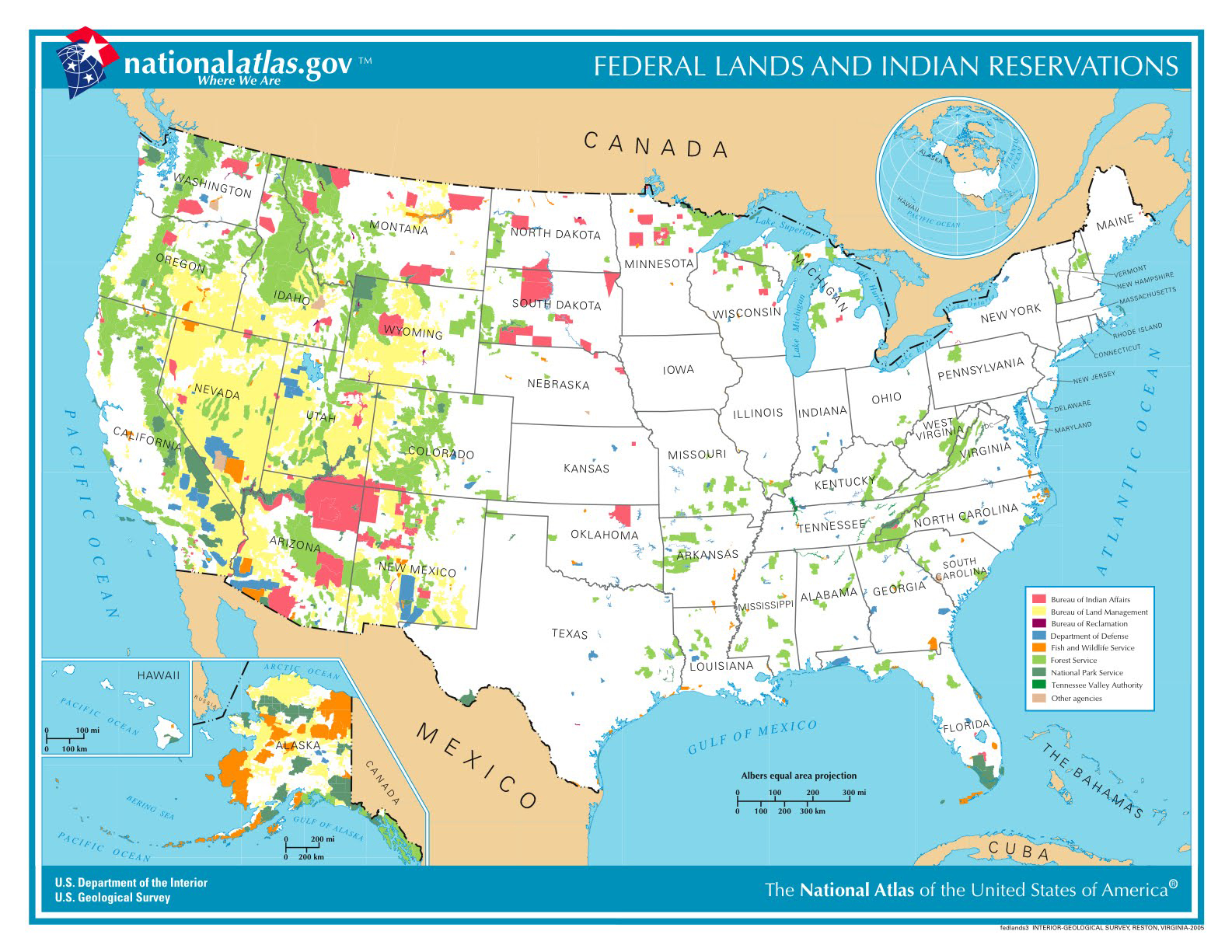
FYI, the map above, comes from nationalatlas.gov, which has a wealth of printable, customizable, and dynamic maps with data like terrain (naturally), precipitation, volcanoes, vegetation growth, congressional districts, invasive species, and more.


