Hiking and Camping Gear
Find the best hiking, backpacking, and camping gear and outdoor essentials right here. We’ve got your ultimate gear list covered for your next day, weekend, or thru-hike trip, whether you're hitting the backcountry or the local frontcountry.
See our top hike and camp gear picks, including price comparisons, in any outdoor product category: backpacks to tents, sleeping bags to pads, camp stoves to cookware and food, knives to multi-tools, lights to navigation and electronics, trekking poles to water treatment, even dog gear.
Browse thousands of independent equipment reviews and ratings by real hikers, backpackers, alpinists, and paddlers, to select appropriate, dependable, field-tested gear for your next adventure.
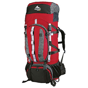
Backpacks
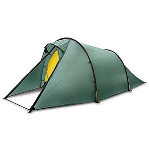
Tents and Shelters
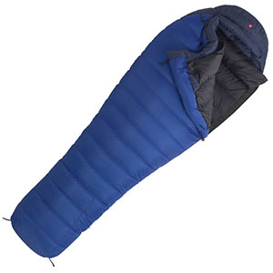
Sleeping Bags and Pads
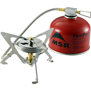
Backpacking and Camp Stoves
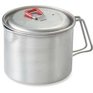
Cookware
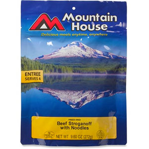
Food and Drink
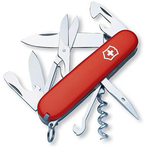
Knives and Tools
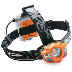
Lights
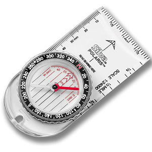
Navigation Tools
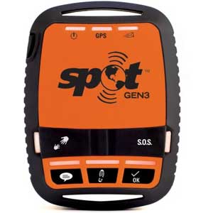
Electronics
Safety Gear
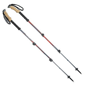
Trekking Poles
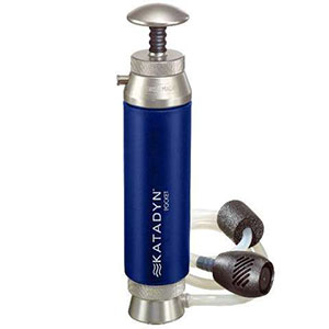
Water Treatment
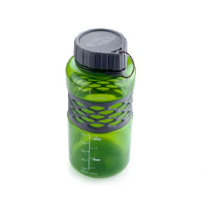
Water Storage
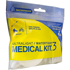
First Aid and Hygiene
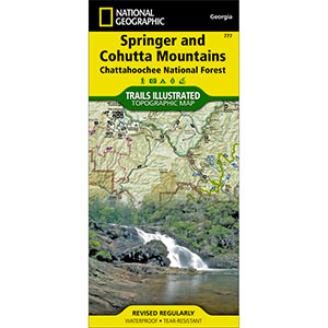
Books and Maps
Camp Furniture
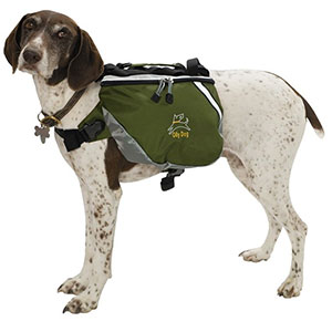
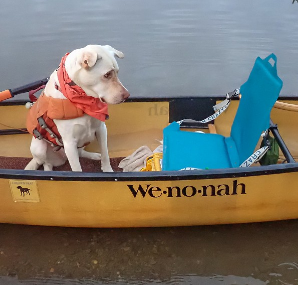
Dog Gear
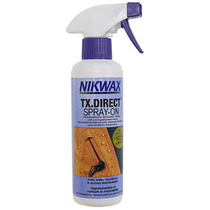
Gear Care and Maintenance
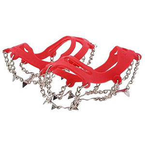
Winter Traction
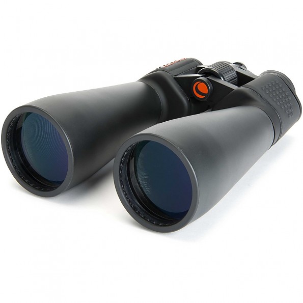
Optics
10 Essentials for Backcountry Travel
While a comprehensive hiking, backpacking, or camping gear list depends on many factors (season, climate, terrain, distance, activities, and personal preference), certain outdoor gear is essential whether you’re exploring the trails in your local woods or heading off on an extended backcountry climb or ski.
Wherever you're going, always bring appropriate hiking and outdoor gear for each of the 10 Essentials:
- Navigation
- Sun protection
- Insulation (extra clothing)
- Illumination (lights)
- First-aid supplies
- Fire (starters)
- Repair kit and tools
- Nutrition (extra food)
- Hydration (extra water)
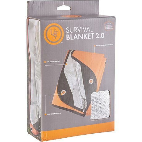
- Emergency shelter
Review Your Outdoor Gear
If you've found this site helpful — or if we've missed something important — please consider paying it forward by some of your favorite outdoor gear.
Why? From professional gearheads to outdoor novices, everyone has an important point of view to contribute. will support the outdoor community and help others find the best gear.
Trailspace reviewers are outdoor enthusiasts like you: hikers, climbers, paddlers, backcountry skiers, and trail runners who share our experiences with the gear and clothing we rely on to get outside. Learn more about Trailspace